Photos of Hai Phong city
Cam river
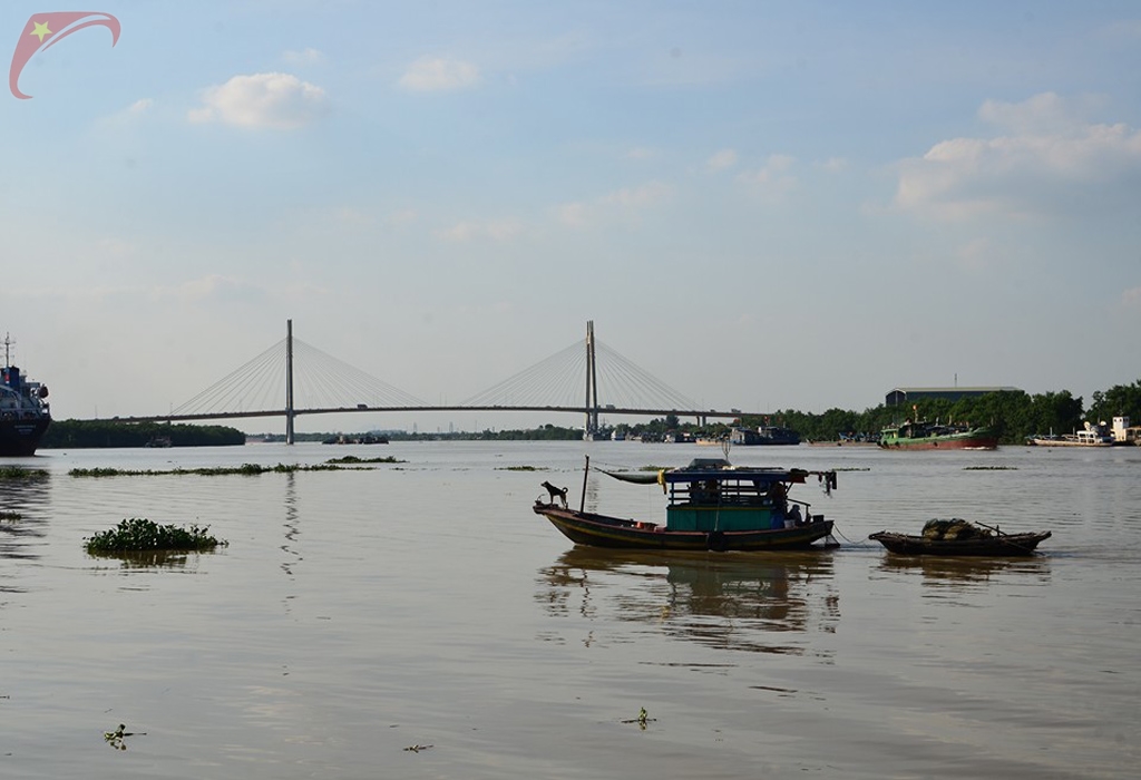
Cam river in Hai Phong is a downstream tributary of Thai Binh river system, which flows through the territory of Hai Phong city.
Cam river begins at the An Duong intersection of Hai Duong Province where the two rivers Kinh Mon and Han confluence. From the Nong junction, the river flows basicly northwest-southeast, but meandering in shape forming a letter M, to the territory of Quan Toan ward (Hong Bang District, Hai Phong City) ther river redirects and flows east and to the southeast, into the sea at the Cam mouth, a little skewed toward the southeast. Cam river has a total length of about 7,000 meters, goes through and creates local boundaries between districts such as An Duong, Thuy Nguyen, Hong Bang district, Ngo Quyen, Hai An. Hai Phong port is located on the river about 5 km from Cam mouth.