Nam Dinh photos
Ba Lat mouth
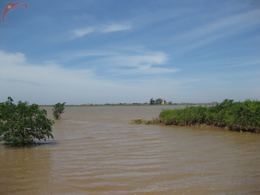
Ba Lat sea mouth is in north Vietnam where the Red river flows into the Gulf of Tonkin between Giao Thuy district, Nam Dinh province on the right bank and Kien Xuong district, Thai Binh province on the north bank of the river.
The tip right on the north bank of the river is Vanh island, while Lu island is in the southern part of the island. On the Vanh island there is a 38 meter high lighthouse built in 1962 to help ships pass through the estuary.
Up until 18th century Ba Lat mouth was a small river branch while the main one was Ngo Dong river with 2 mouths Lan and Ha Lan, in 1787 a large flood overwhelmed and made Ba Lat a big mouth while the Ngo Dong river was gradually filled up.