Photos of Thai Binh province
Con Vanh island
Located at the Ba Lat river mouth where the Red River joins the sea, Con Vanh is a 2,000-hectare alluvial field with relatively flat terrain in the Red River Delta Biosphere Reserve (recognized by UNESCO In December 2004).
Con Vanh has a coastal mangrove ecosystem with abundant species of plants such as pine cones covering a large area, becoming the habitat of many species of birds such as storks, pelican, seagull...Over 200 species of seafood and about 170 species of algae of economic value.
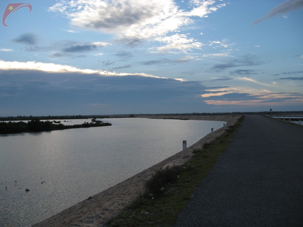
In recent years, the road traffic system has been built, including PAM dykes and a crossing through Con Vanh connecting PAM dyke directly to the sea, 3 km long. In addition, waterway transportation is also very convenient.
Located at the Ba Lat river mouth where the Red River joins the sea, Con Vanh is a 2,000-hectare alluvial field with relatively flat terrain in the Red River Delta Biosphere Reserve (recognized by UNESCO In December 2004).
Con Vanh has a coastal mangrove ecosystem with abundant species of plants such as pine cones covering a large area, becoming the habitat of many species of birds such as storks, pelican, seagull...Over 200 species of seafood and about 170 species of algae of economic value.
In recent years, the road traffic system has been built, including PAM dykes and a crossing through Con Vanh connecting PAM dyke directly to the sea, 3 km long. In addition, waterway transportation is also very convenient.